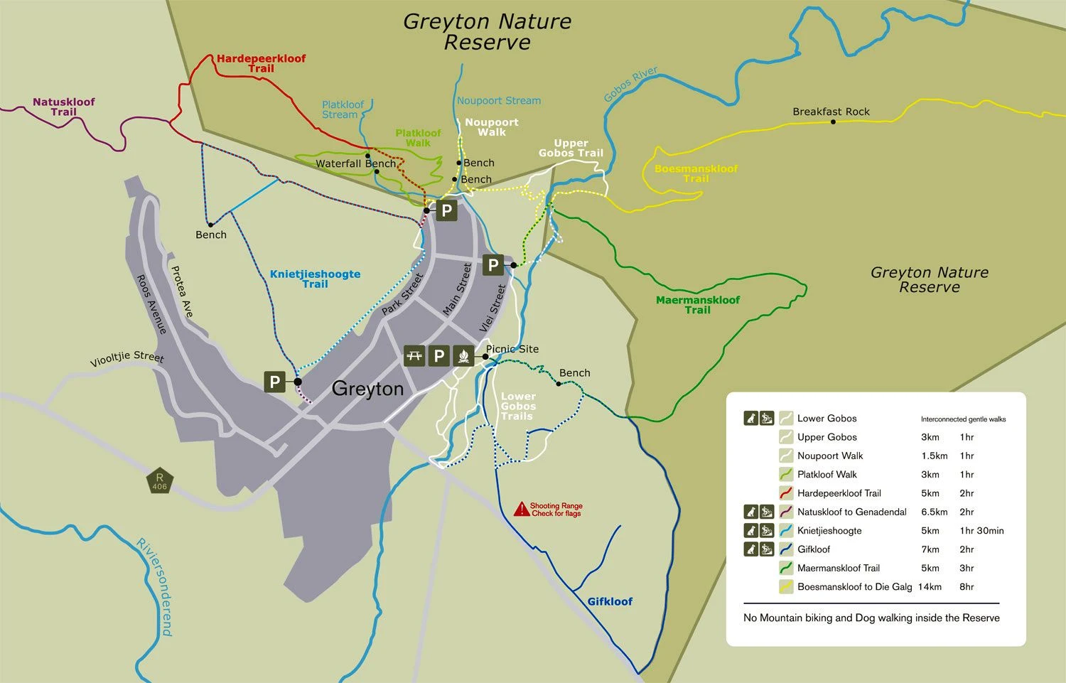
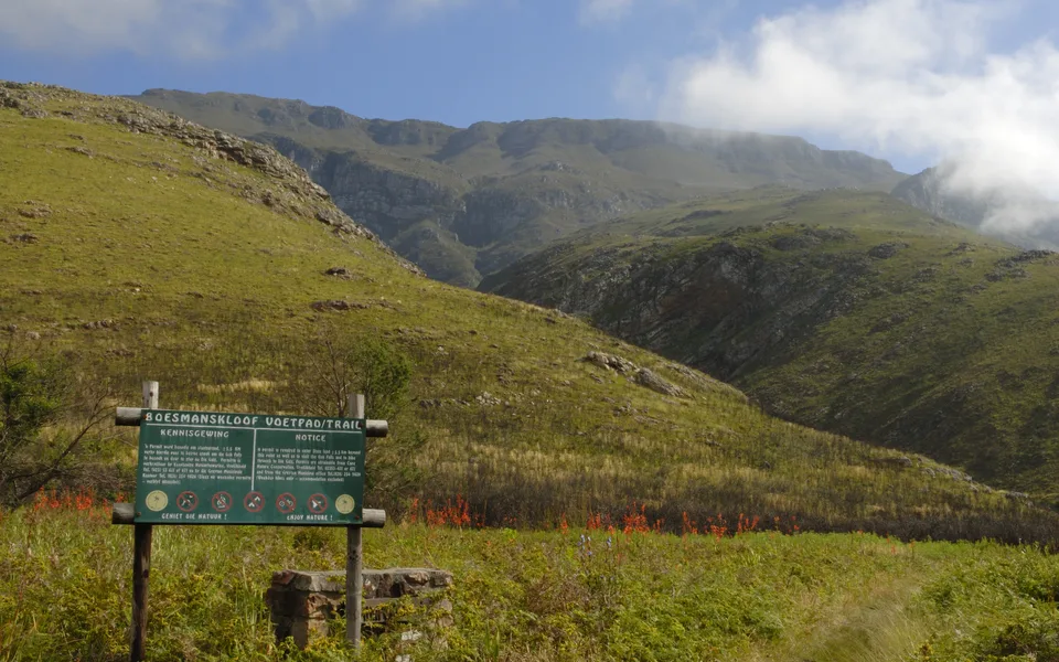
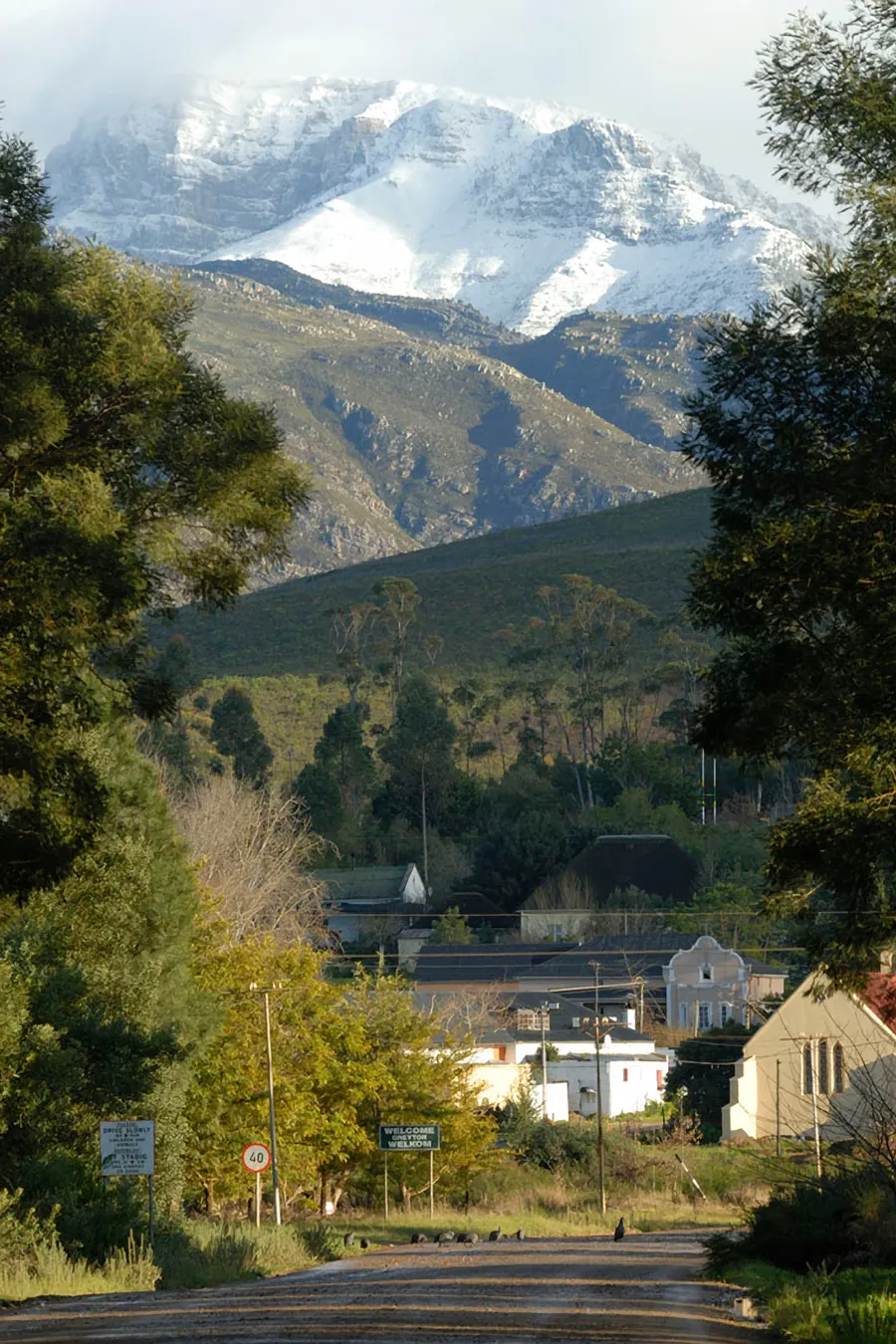
This trail starts and ends at lower Nerina Street at the entry sign into Greyton Nature Reserve. The trail is strenuous and steep, and water should be carried.
Follow the jeep track to the left for about four hundred metres, and then take the right track down to the Gobos River. Cross the river and just out of the riverbed turn right onto a small path which passes the suspended water pipe and then starts climbing up the slope. Have a rest at the bench marked “a Bort”.
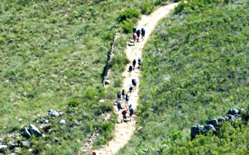
From the top of the first of a series of hills, the farmhouse, Weltevreden, is visible on your right in the valley below. The path ahead looks steep but becomes less so when you tackle it! The trail follows a steep cliff to the right. On the tops of the hills you summit natural “bonsai” trees may be seen. The Rockwood or Kliphout (Heeria argentea) have survived countess fires, protected to a certain extent by rocks, as the gnarled branches show. This species consists of male and female plants. At times you will notice the strange fragrance of Agathosma ovatfolia, a member of the Buchu family. Aloe mitriformis grows on these rocky outcrops and belongs to a group of aloes flowering in mid-summer.
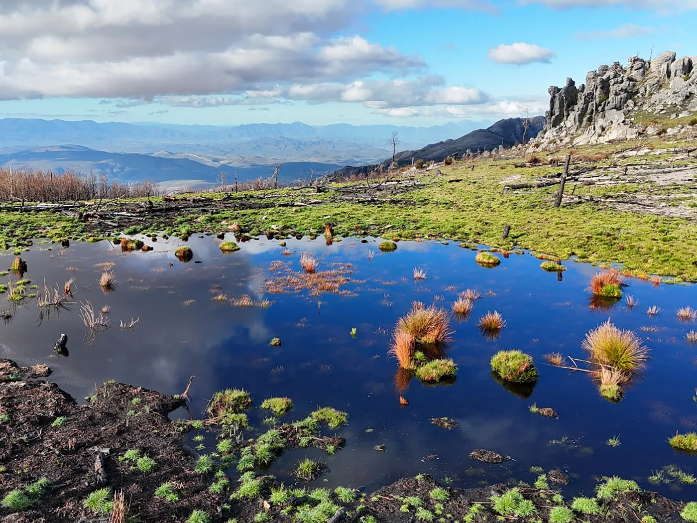
Go through the saddle and up the dome just in front of you. Having reached the highest point of the walk (Viewpoint) you can admire the magnificent view of the Riviersonderend Mountains. Below you the Boesmanskloof Trail to McGregor winds out of the Wolfkloof and snakes up to its highest point. Looking south you will see the Maermanskloof valley with your path going down.
Before you go down into the Maermanskloof valley, you pass some ground proteas with their flowers hidden close to the ground. Most probably their pollinators are rodents which are attracted by nectar and the yeasty smell.
Please be aware that the path down into the valley is steep and rocky, and the fynbos has grown thick in some places, encroaching the path. Take care descending so that you can take full advantage of the beautiful flora in which you find yourself surrounded.
The cliffs have released some big rocks, now nesting in the valley. The north facing part of the valley shows different vegetation. There are fewer plants, with leaves less lush. Near rocks there are aloes, succulents that can withstand drought conditions. Small antelope, hares and even baboons may be seen. As the area is off the beaten track, birds are not used to humans and it may take some patient waiting before birds come out into the open again. From time to time, a pair of black eagles hunt along the cliffs of Abdolskop, the peak above Maermanskloof.
The path now leads up the neck, with good view of Uitkyk (1470m) in the north west and then descends to a jeep track, which then crosses another jeep track which leads to the Weltevreden farmhouse. Keep straight on (do not take any tracks or paths to the left) and you will come to a bench, which provides a good viewpoint of Greyton below. Walk down the Zig-zag path, cross the Gobos river, walk through the picnic site and exit the commonage through the gate and turn right into Vlei Street. A short walk will take you back to your starting point.